Rend Lake State Fish & Wildlife Area
10885 E. Jefferson Road
Bonnie, IL 62816
Phone: (618)279-3110
Fax: (618)279-3526
View Map of Rend Lake
(Adobe Acrobat Format .pdf)
![]()
|
Rend Lake State Fish & Wildlife Area |
|
|
View Map of Rend Lake |
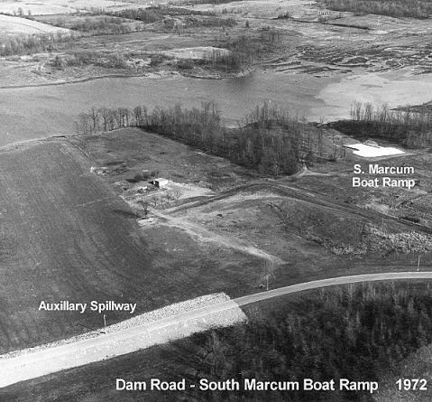
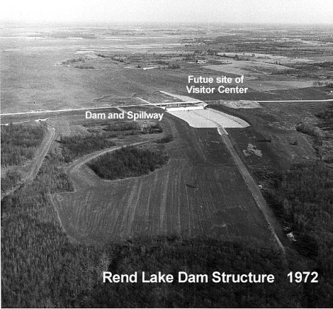
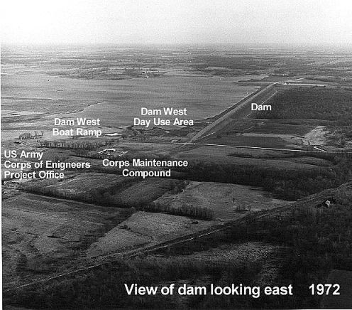
Overhead Photos of Rend Lake (circa 1972)
|
|
|
|
Photos courtesy Army Corp of Engineers. Click on a photo to enlarge. | ||
The Rend Lake Area encompasses:
12,690 acres of land & water,
2 waterfowl subimpoundments,
5,000 acre wildlife refuge and 20 public use access areas.
Fork subimpoundment for duck & goose hunting and 4 pits during season.
Waterfowl, forest game and upland game hunting.
Fishing, hiking, boating and other non-cosumptive uses.
Recreation Amenities and Services.
Directions:
Approximately 2 miles west of Bonnie, IL..
Approximately 5 miles south of Mt. Vernon, IL off State Route 37.
Approximately 3 miles east of Wattonville, IL, north and south of State Highway 148.
Rend Lake Links:
Army Corp Engineers Rend Lake Site
History of Rend Lake
Rend Lake State Wildlife Area
Rend Lake Surrounding Area
Rend Lake Rules and Regulations
Hunter Fact Sheet
Resort Information